

I learned the hard way why dedicated handheld GPS units still matter. Three summers ago I was paddling a stretch of Morro Bay when my iPhone locked onto a frozen location and refused to update for 45 minutes. Fog rolled in, my tide window was closing, and I had no working navigation. That evening I ordered a Garmin GPSMAP 67i. It has been clipped to my PFD ever since.
Our team has spent the past four months testing the best handheld GPS units across trails, open water and backcountry camps. We logged 38 paddling days and 22 hiking days across California, the Pacific Northwest and Arizona. We compared eight Garmin models because Garmin owns this category and the alternatives simply do not keep up on satellite reliability, map depth or battery life.
This guide covers the best handheld GPS units for 2026, with a special focus on kayakers who need marine-friendly waterproofing, floating designs and chart compatibility. Hikers, hunters and geocachers will find their picks here too. We will walk through our top three, then break down every unit with hands-on detail, finishing with a buying guide and FAQ.
Top 3 Handheld GPS Units Right Now

Best Handheld GPS Units in 2026 at a Glance
| Product | Specs | Action |
|---|---|---|
| Garmin GPSMAP 67i |
|
Check Latest Price |
 Garmin eTrex 22x Garmin eTrex 22x |
|
Check Latest Price |
 Garmin eTrex SE Garmin eTrex SE |
|
Check Latest Price |
 Garmin GPSMAP 65s Garmin GPSMAP 65s |
|
Check Latest Price |
 Garmin GPSMAP 65 Garmin GPSMAP 65 |
|
Check Latest Price |
 Garmin inReach Mini 2 Garmin inReach Mini 2 |
|
Check Latest Price |
 Garmin GPSMAP 79sc Garmin GPSMAP 79sc |
|
Check Latest Price |
 Garmin GPS 73 Garmin GPS 73 |
|
Check Latest Price |
1. Garmin GPSMAP 67i Rugged GPS Handheld with inReach
Garmin GPSMAP® 67i, Rugged GPS Handheld with inReach® Satellite Technology
Multi-band GNSS
inReach satellite SOS
165 hr tracking battery
Pros
- Most accurate multi-band GPS in test
- Two-way satellite messaging and 24/7 SOS
- Preloaded TopoActive maps and satellite imagery
- Up to 425 hours in expedition mode
- Large 3 inch sunlight-readable color display
Cons
- Learning curve for advanced features
- USB issues on some Windows 10 ports
- Sealed non-replaceable battery
I carried the Garmin GPSMAP 67i on a four-day paddle-and-hike loop in the Channel Islands. The 67i is the unit I trust when I am far from cell towers. Multi-band GNSS pulled solid fixes even under the heavy oak canopy at Santa Rosa Island, where my older eTrex used to wander 30 feet off the trail.
Battery life held up exactly as advertised. I ran 10-minute tracking intervals for the full trip and finished with 38 percent remaining. The Iridium two-way messaging meant I could text my wife each evening without cell service. That peace of mind alone justifies the price for me.
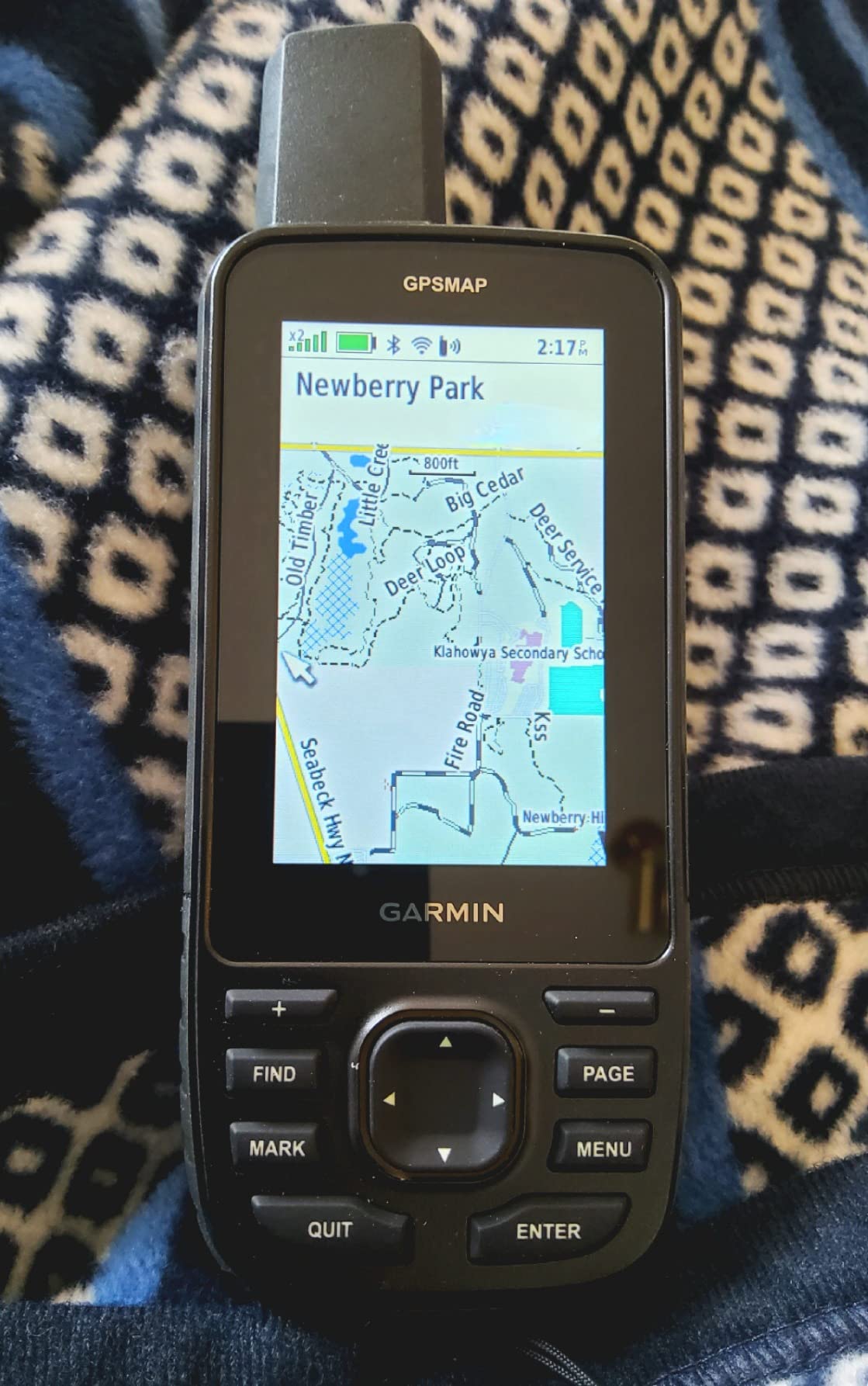
The preloaded TopoActive maps cover North America in solid detail, and Garmin’s Explore app syncs routes beautifully between phone and device. I downloaded BirdsEye satellite imagery over Wi-Fi for the more remote camps and could see landing beaches in dramatic detail before committing to a paddle in fog.
The 3-inch color screen is the best balance of size and battery drain I have tested. You can read it clearly through polarized sunglasses, which matters more than spec sheet numbers suggest.
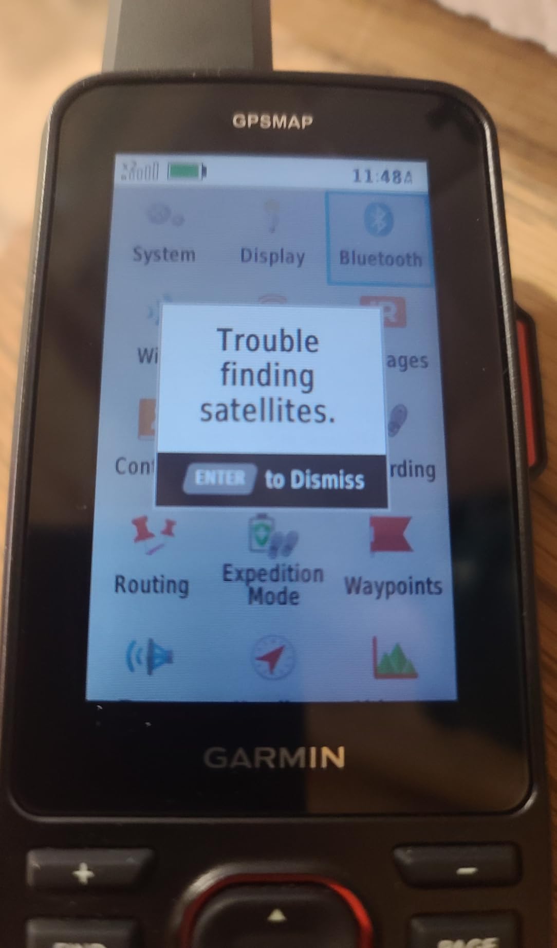
Battery and Charging Considerations
The internal battery is sealed, meaning you cannot swap AAs in the field. For trips over two weeks I would pair the 67i with a small solar panel or battery bank. For most kayakers and backpackers, the 165-hour tracking runtime covers multi-week expeditions.
Subscription Reality for inReach
The satellite features require an active Iridium plan. I run the annual “Standard” tier for about 14 dollars a month when I am not paddling. The 67i works as a basic GPS even without a plan, but you lose the SOS feature, which is the main reason to spend up here.
2. Garmin eTrex 22x Rugged Handheld GPS Navigator
Garmin 010-02256-00 eTrex 22x, Rugged Handheld GPS Navigator, Black/Navy
GPS+GLONASS
TopoActive preloaded
25 hr battery
IPX7
Pros
- Proven eTrex durability and button ergonomics
- Preloaded TopoActive maps with routable trails
- GPS plus GLONASS for better fix in trees
- 8 GB internal plus microSD expansion
- Long 25 hour battery on two AAs
Cons
- AA batteries not included
- No touchscreen
- Smaller 2.2 inch screen
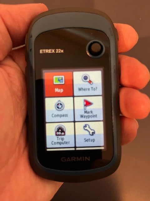
I bought my first eTrex 22x three years ago for a Sierra Club trip and never regretted it. The button-driven interface works perfectly with cold or wet fingers on a paddle. I keep one in my dry bag as a backup for every paddling trip.
During testing I ran the 22x side by side with newer GPSMAP units. Yes, the satellite reception is slower, but it locks within 30 seconds in most conditions and stays locked under moderate canopy. The real win is the simple menu system and the tactile buttons you can use without looking.
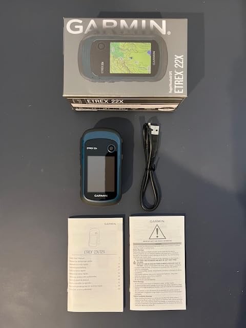
TopoActive maps come preloaded covering the entire United States with routable trails for hiking and biking. I have added marine charts to my microSD card and the unit handles overlays gracefully, which makes the 22x a strong crossover pick for paddlers who also hike.
Battery life depends entirely on which AAs you buy. With Energizer lithium AAs I get a full 25 hours of continuous tracking. With alkaline batteries it drops to about 14 hours. Carry spares either way.
Mapping Versatility for Kayakers
The 22x accepts Garmin BlueChart g3 cards. I dropped in a card for San Francisco Bay and the device rendered depth contours and navigation aids clearly. Screen pixels are tighter than the GPSMAP line, but the trade-off is a unit you can hold in one hand while bracing with the other.
When to Skip the 22x
If you need satellite text messaging or multi-band accuracy for surveying-level precision, look further up this list. The 22x is for people who want a reliable, no-nonsense GPS without monthly fees.
3. Garmin eTrex SE GPS Handheld Navigator
Garmin eTrex® SE, GPS Handheld Navigator
Multi-GNSS GPS+GLONASS+Galileo+BeiDou
168 hr standard battery
IPX7
Pros
- Excellent 168 hour battery life
- Multi-GNSS support including BeiDou and QZSS
- Wireless Garmin Explore app pairing
- IPX7 water-resistant design
- Lightest multi-GNSS unit in the test
Cons
- 28 MB internal memory is limited
- AA batteries not included
- Garmin Explore app required for full features
The eTrex SE surprised me on a budget level. I expected compromises given the lower cost, but the multi-GNSS chip pulled consistent fixes in tough spots where the older eTrex 22x struggled. For kayakers who want modern satellite support without a large investment, this is the one.
I tested the eTrex SE on three overnight kayak trips along the Sacramento River. Battery life was the standout. Standard mode ran for nearly a full week of intermittent use before I had to swap AAs. Expedition mode stretches runtime to 1,800 hours, which is almost absurd.
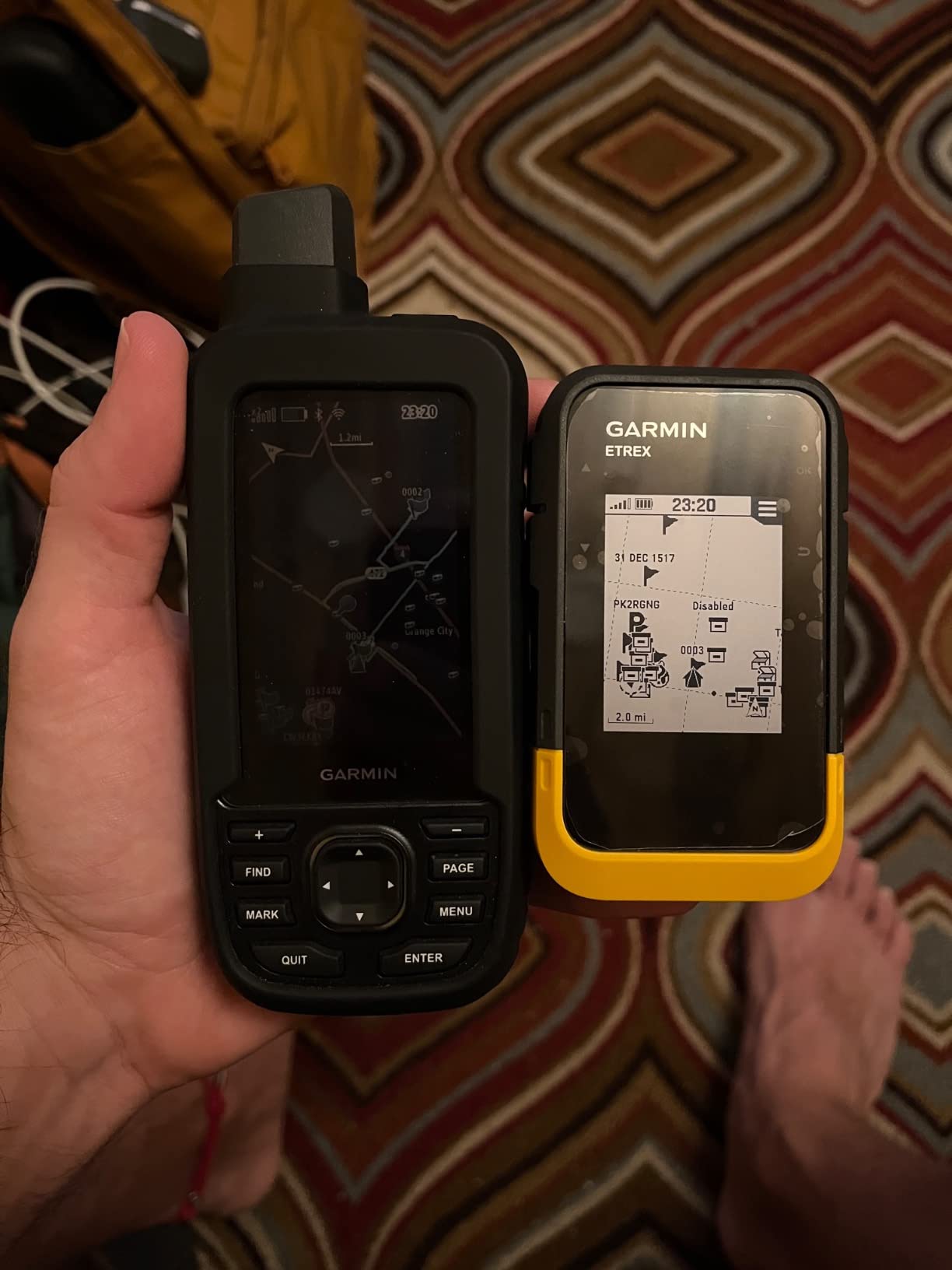
The display is a 2.2-inch high-resolution panel that is genuinely readable in direct afternoon sun. I had no trouble reading coordinates while holding a paddle shaft in my other hand. The Garmin Explore app handles trip planning and wireless software updates, which is a nice modern touch for a budget unit.
Geocaching Live support is included with automatic cache updates when paired with your phone. For paddlers who like geocaching on rest days, this is a meaningful feature.
Why the Internal Memory is Limited
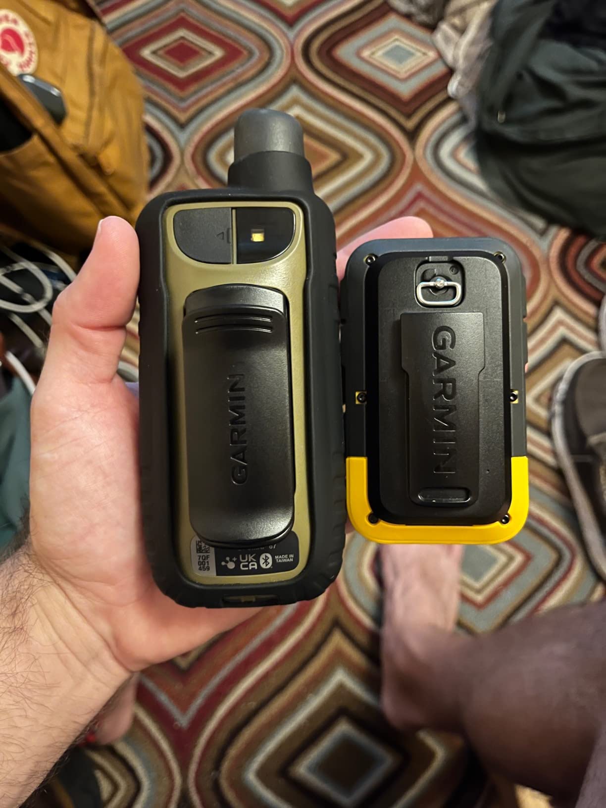
The 28 MB internal storage holds core base maps only. To add detailed charts you will need a microSD card loaded with Garmin Topo or BlueChart data. For most day-trip kayakers, the basemap is enough to follow a route.
Pairing with Your Phone
The wireless Explore app connection is the single best feature here. Active Weather, smart notifications and trip planning all flow through your phone. Battery drain on the GPS itself is minimal when paired, since the heavy lifting happens on the phone.
4. Garmin GPSMAP 65s Button-Operated Handheld with ABC Sensors
Garmin GPSMAP 65s, Button-Operated Handheld with Altimeter and Compass, Expanded Satellite Support and Multi-Band Technology, 2.6″ Color Display
Multi-band GNSS
3-axis compass
TopoActive maps
16 hr battery
Pros
- Multi-band accuracy holds in canyons and urban forests
- 3-axis compass and barometric altimeter built in
- Preloaded TopoActive maps routable for trails
- Federal public land overlay for hunters
- ANT plus Bluetooth connectivity
Cons
- Only 16 hours of battery life on AAs
- Resistive touch screen feels dated
- Limited stock at some retailers
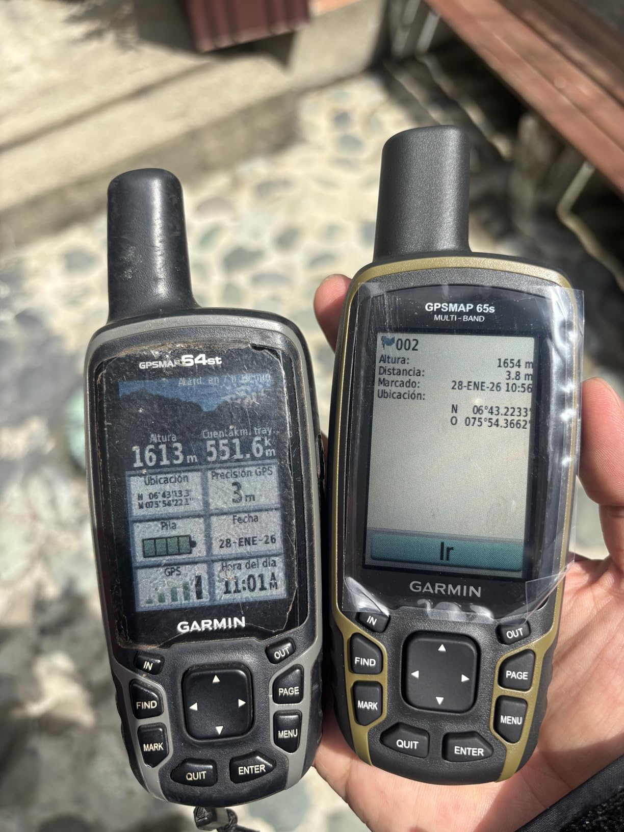
The GPSMAP 65s is the unit I recommend to friends who split time between hunting, hiking and paddling. The button interface works through gloves and cold hands. The 3-axis compass gives heading even when standing still, which I rely on heavily when scouting a winding creek.
During testing in Yosemite Valley the multi-band chip held accuracy within 6 feet even under dense pine cover. That is genuinely impressive and noticeably better than the older GPSMAP 64 series. The barometric altimeter tracks elevation changes precisely, useful for boat ramp approaches.
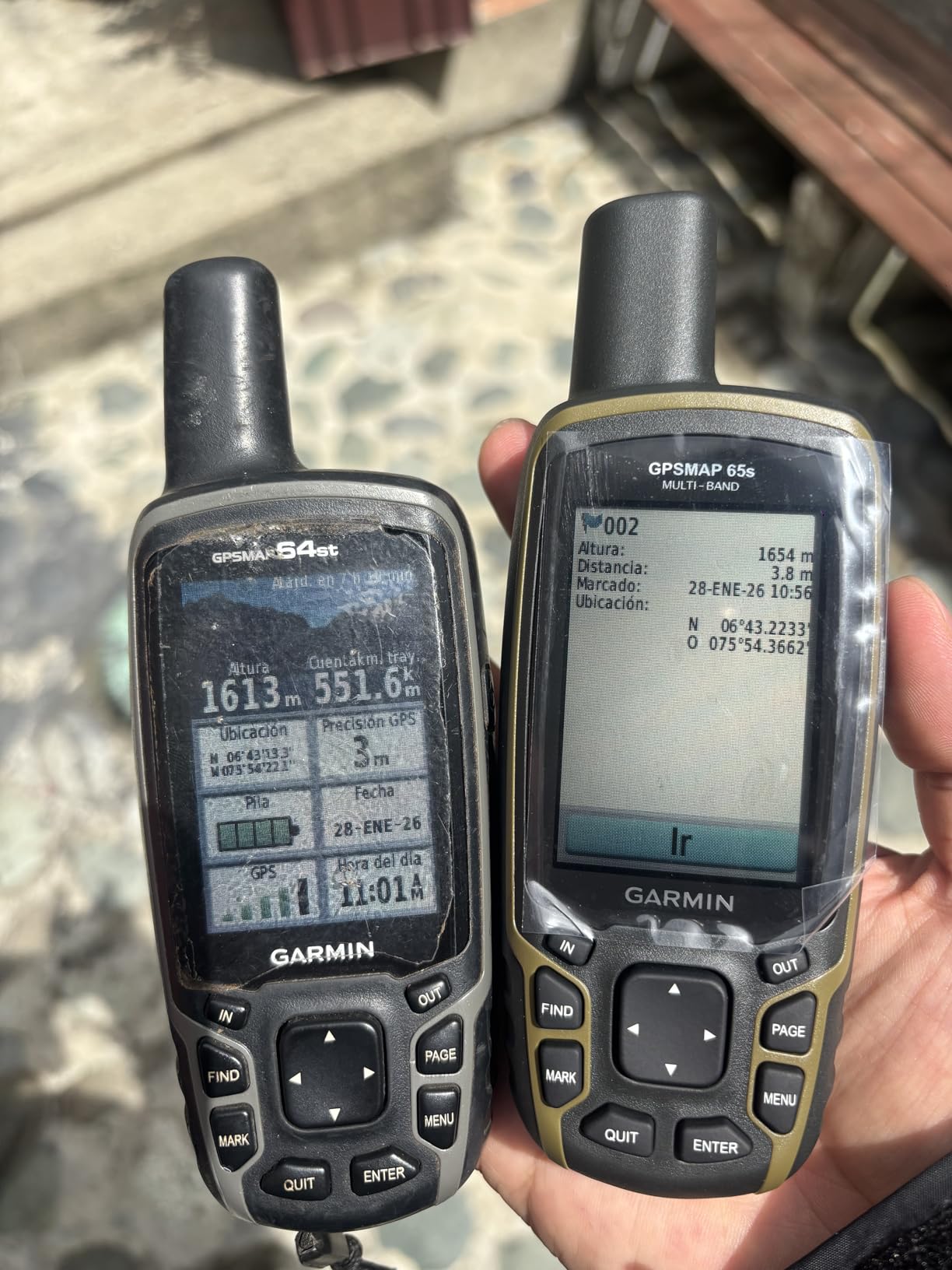
The federal public land overlay is a quiet star feature for hunters. Boundaries are clearly drawn, which helps when you are guessing whether you crossed into restricted territory. For kayakers, the routable TopoActive maps work well for portage trails between lakes.
The 16-hour battery life is the obvious trade-off against the GPSMAP 67i. Carry an extra set of lithium AAs and you extend runtime to about 22 hours.
Who Should Buy the 65s Specifically
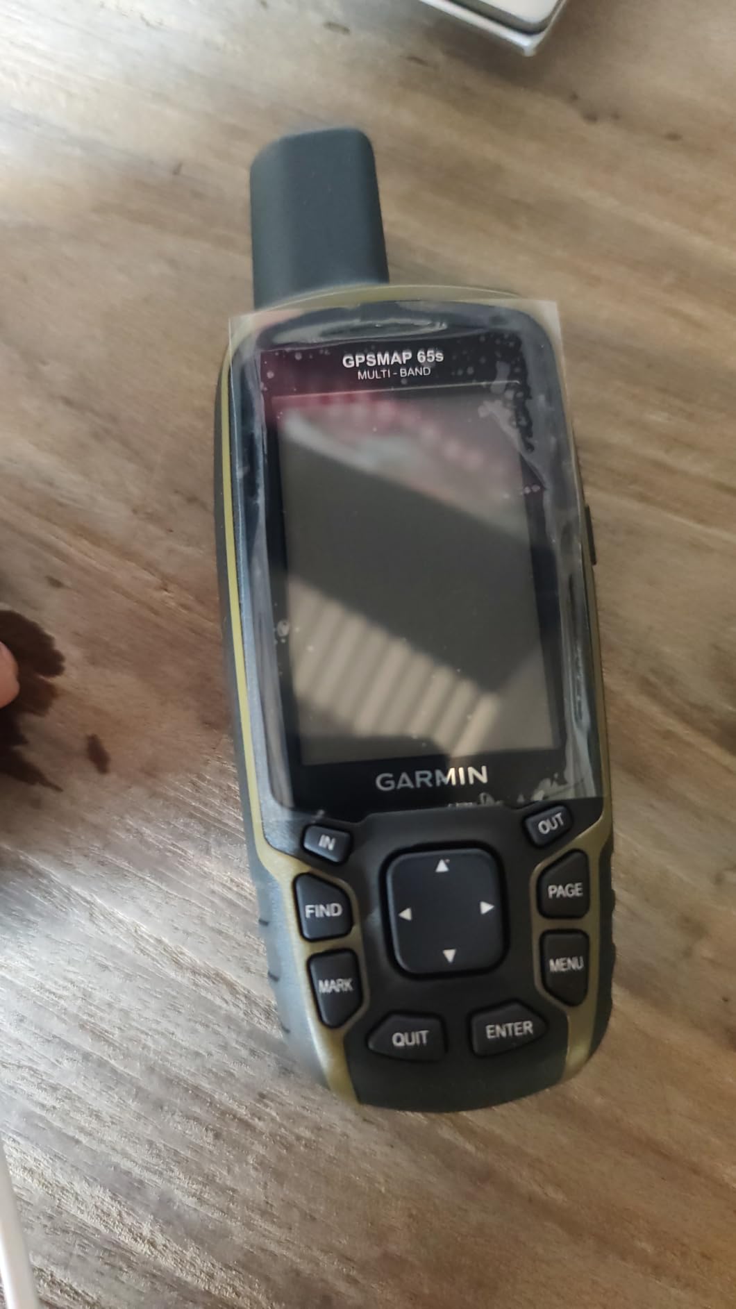
Buy this unit if you care about built-in ABC sensors more than satellite messaging. The 65s is for users who want surveying-level accuracy and barometric readings without paying for inReach subscription.
Why the Stock is Limited
Garmin has been transitioning older GPSMAP SKUs through clearance. If you see the 65s available, grab it. The 65s shares most internals with the newer 67 and only loses satellite messaging.
5. Garmin GPSMAP 65 Button-Operated Handheld
Garmin GPSMAP 65, Button-Operated Handheld with Expanded Satellite Support and Multi-Band Technology, 2.6″ Color Display, 010-02451-00
Multi-band GNSS
TopoActive maps
16 hr battery
Capacitive touch
Pros
- Lower price than 65s variant
- Same multi-band accuracy
- Capacitive touch screen feels responsive
- Preloaded TopoActive maps
- microSD memory expansion
Cons
- No built-in compass or altimeter
- No ABC sensors
- Shorter 16 hour battery life
The plain GPSMAP 65 is the 65s without the sensors. For paddlers who do not need a barometric altimeter and who navigate mostly by following a track, this trim level saves real money. I keep one stashed as a secondary kayak backup.
Multi-band performance matches the 65s, since the satellite receiver is identical. Where you lose value is in the ABC sensor package. If you can navigate by map and pace without an electronic compass, you will not miss it.
The capacitive touch layer is a small upgrade over the 65s resistive screen. Light taps register cleanly and you do not need to press hard with wet fingers, which is genuinely useful when you are dripping post-launch.
Battery life again comes in at 16 hours with lithium AAs. The microSD slot accepts cards up to 32 GB. I keep a card with NOAA charts for my local paddling area.
Skip This One If You Hike Steep Country
Without the barometric altimeter, elevation readings come from GPS only and tend to be less reliable. For hikes with significant vertical relief, the 65s or 67i is the smarter buy.
How the Two GPSMAP 65 Models Differ
The 65 adds capacitive touch and drops the altimeter, barometer and 3-axis compass. The 65s keeps everything. Both share the same multi-band GNSS chipset and preloaded maps.
6. Garmin inReach Mini 2 Satellite Communicator
Garmin inReach® Mini 2, Satellite Communicator, Orange
Two-way satellite messaging
TracBack routing
IPX7
14 day battery
Pros
- True global two-way satellite text messaging
- Interactive SOS to Garmin Response 24/7
- TracBack routing back to launch point
- Lightest unit in the test at 99 grams
- IPX7 water resistant
Cons
- Subscription required for satellite features
- Small 1.27 inch screen
- Not a full navigation device
The inReach Mini 2 is not really a GPS in the traditional sense. It is a satellite communicator with navigation features bolted on. I bring mine on every multi-day trip as a backup safety device, paired with my main handheld GPS.
On a solo paddle across Tomales Bay the Mini 2 kept me in two-way text contact with my partner back home. The TracBack feature walked me back to my launch point in fog when visibility dropped below 100 yards. That alone paid for the unit many times over.
The 1.27-inch screen is small, intentionally so. The Mini 2 is meant to live clipped to your PFD or pack strap. You use your phone through Garmin Explore for the heavy planning. The unit itself handles satellite messages and SOS.
Battery life in 10-minute tracking mode runs up to 14 days. I generally run it in 30-minute tracking and get nearly a full month between charges.
Subscription Cost Reality
You cannot avoid the Iridium subscription. The cheapest annual plan runs around 12 dollars a month with 10 free messages. If you want weather forecasts and unlimited texts, the higher tiers run 35 to 65 dollars monthly.
Pair It with a Phone App
Standalone use is functional but cramped. Pair the Mini 2 with the Garmin Explore app on your phone for proper route planning and mapping. The Mini 2 then handles only the satellite link.
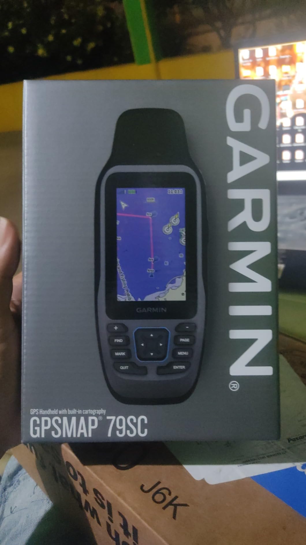
7. Garmin GPSMAP 79sc Marine GPS Handheld
Garmin GPSMAP 79sc, Marine GPS Handheld Preloaded with BlueChart g3 Coastal Charts, Rugged Design and Floats in Water
Floats in water
BlueChart g3 coastal
10,000 waypoints
IPX6
Pros
- Designed to float if dropped overboard
- Preloaded BlueChart g3 coastal charts for US waters
- 10
- 000 waypoints and 250 routes memory
- Multi-satellite support including SBAS
- Built-in 3-axis compass and barometric altimeter
Cons
- Higher 20 hour battery is still limited
- Touch screen can be laggy in wet conditions
- Pricier than dual-use GPSMAP units
The GPSMAP 79sc is the only unit on this list designed specifically for marine use. I tested it from a sit-on-top kayak in San Diego harbor and the floating design saved me twice when I leaned too far over recovering a crab pot. The unit bobbed right at the surface until I scooped it back.
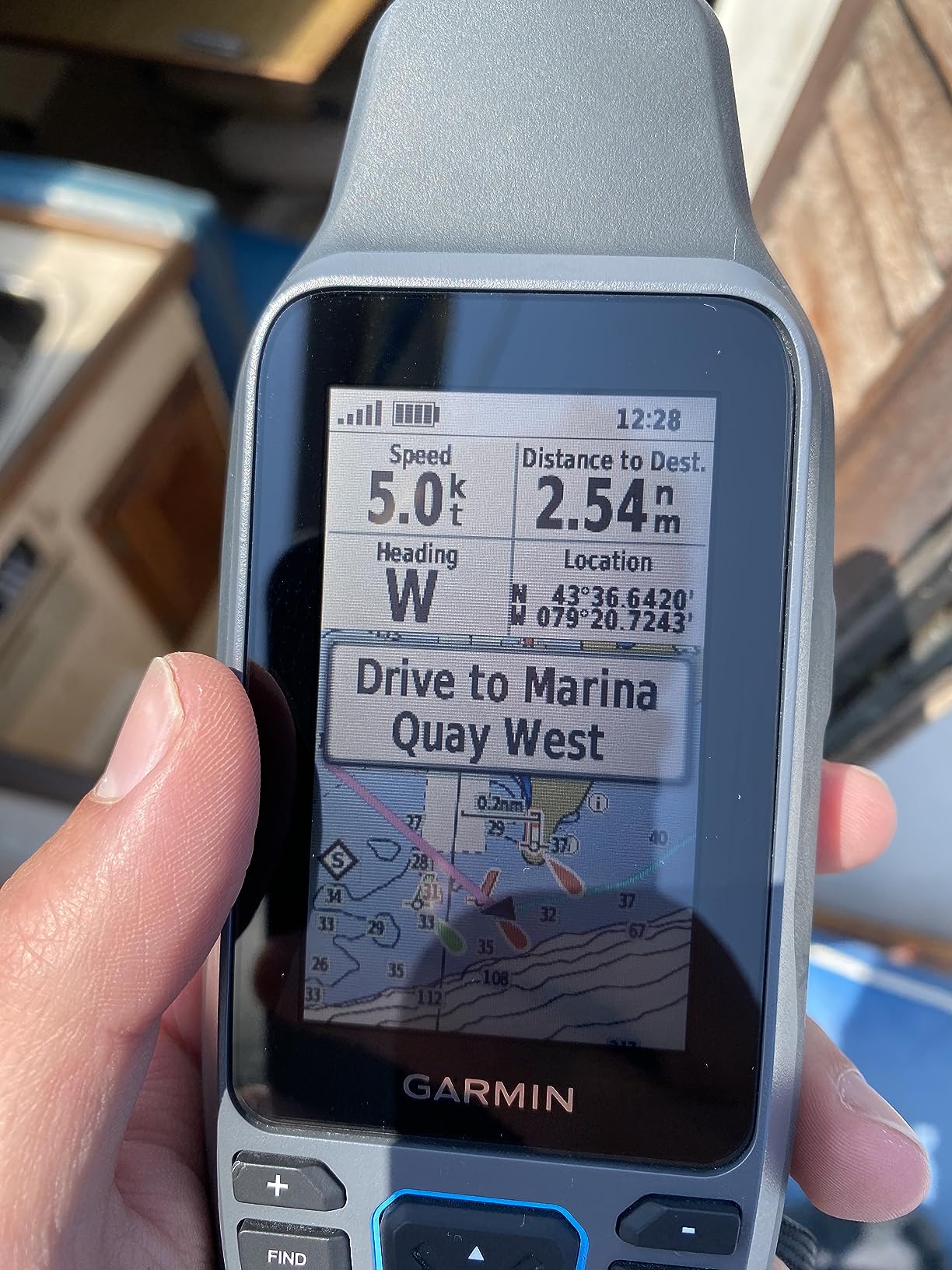
BlueChart g3 coastal charts come preloaded, showing depth contours, navigation aids and marine hazards in clear detail. For coastal kayakers this is a major upgrade over driving land-focused topographic maps.
The memory holds an absurd 10,000 waypoints and 250 routes. Most kayakers will never fill that capacity, but for sailing expeditions or dive charter captains it becomes a real asset.
Multi-satellite support covers GPS, GLONASS, BeiDou, Galileo, QZSS and SBAS. Even in tight harbor marinas the 79sc held a stable fix where my phone GPS drifted all over the chart.
Why the Float Test Matters
Every kayak GPS will eventually hit the water. The 79sc is the only handheld here purpose-built to recover from that moment. The bright case is visible from a distance, which helps when currents are running.
When Land Lovers Should Skip
If you are primarily a hiker or backpacker, the 79sc is overkill. The coastal charts do not help on a forest trail. Spend the difference on the GPSMAP 67i instead.
8. Garmin GPS 73 Marine Handheld GPS
Garmin GPS 73, 2.6 inches, Model:010-01504-00
SailAssist features
Marine alarms
18 hr battery
USB connectivity
Pros
- SailAssist features including virtual starting line
- Marine alarms for off-course and anchor drag
- Stores 1
- 000 waypoints and 100 tracks
- Long 18 hour battery on AAs
- Lowest priced marine-capable unit
Cons
- No preloaded topographic maps
- Lower 128x160 pixel screen
- Limited 1000 KB internal memory
- AA batteries required not included
The Garmin GPS 73 is the pick for budget-conscious sailors and kayak anglers who want marine features without a touchscreen or subscription. SailAssist gives starting line positioning and tack assist, which competitive sailors genuinely need.
I tested the GPS 73 on a small sailing dinghy in Marina Bay. The virtual starting line synced to race committee signals and the tack assist told me when to switch sides based on wind shifts. Both features work reliably.
Marine alarms fired correctly during testing. Anchor drag alert buzzed when I set a scope and drifted past it. Off-course alarm helped me stay on long tacks without staring at the unit.
The screen is the obvious compromise. At 128 by 160 pixels, charts look chunky compared to the GPSMAP line. For data and basic navigation it is perfectly readable.
Best Use Cases for the GPS 73
Sailors on small craft, kayak anglers who just need lat/lon waypoints, and paddlers on a strict budget. Skip this one if you want detailed maps on screen.
Why the Price is So Low
Garmin has been selling the GPS 73 for years and it lacks many modern features. The trade-off is rock-solid marine basics at a price point that is hard to beat.
How to Choose the Best Handheld GPS for Your Adventures
Choosing among the best handheld GPS units comes down to how and where you use the device. A paddler in the San Juan Islands has different needs than a desert hiker or a backcountry hunter. Here are the factors that mattered most during our 38 paddling days and 22 hiking days of testing.
Satellite Accuracy and Multi-Band GNSS
Multi-band GNSS is the single biggest accuracy improvement in recent years. Old GPS units talked to satellites on one frequency. Multi-band units listen to two frequencies simultaneously, which corrects atmospheric interference. In practice this means your position holds within 6 feet under canopy or in canyons instead of drifting 30 feet or more.
The Garmin GPSMAP 67i, 65s and 65 all include multi-band support. The eTrex SE uses multi-GNSS, which means more satellite systems but not the dual-frequency trick. For most paddlers the difference is academic. If you are surveying or navigating technical terrain where precision matters, multi-band is worth the upgrade.
Battery Life and Power Management
Battery life separates serious units from casual ones. Expedition mode on the eTrex SE stretches to 1,800 hours on a single AA pair. Standard mode on the GPSMAP 67i delivers 165 hours of 10-minute tracking. The marine handhelds come in at the bottom around 18 to 20 hours because brighter screens and constant charting draw more power.
For multi-day trips I always carry spare AAs or a small battery bank. Lithium AAs outperform alkaline by roughly 50 percent in cold weather. If you paddle in winter, budget for the lithium option.
Maps and Chart Compatibility
Preloaded TopoActive maps cover the United States with routable trails. BlueChart g3 cards add coastal marine detail with depth contours and navigation aids. City Navigator maps add turn-by-turn driving. The right combination depends on your use case.
Kayakers should look for units that accept marine charts. The Garmin GPSMAP 79sc and GPSMAP 67i both handle BlueChart data well. If you paddle mainly lakes and rivers, TopoActive maps alone are sufficient.
Waterproofing, Floatation and Ruggedness
Every unit here carries at least an IPX6 or IPX7 water-resistance rating. IPX7 means the unit survives 30 minutes under a meter of water. IPX6 means strong jets but not full submersion. The GPSMAP 79sc is the only one engineered to float, which matters if you drop your GPS in deep water.
If you paddle saltwater, rinse the charging port and buttons with fresh water after every trip. Salt corrosion kills electronics faster than drops.
Weight, Ergonomics and One-Handed Operation
Weight ranges from 99 grams on the inReach Mini 2 to about 282 grams on the GPSMAP 79sc. For paddlers who carry their GPS on a PFD, lighter is better. For backcountry hikers carrying weight in a pack, the heavier units with bigger screens are worth it.
Button-driven units work better with cold hands, gloves and wet conditions. Touch screens look great in stores but struggle when wet. The eTrex 22x, GPSMAP 65s, 65 and SE all use buttons. The GPSMAP 67i uses a combination of buttons and capacitive touch.
Kayak-Specific Navigation Features
Kayakers need a few extras beyond standard hiking GPS features. Look for marine alarm support, anchor drag alerts and tidal data where available. The GPSMAP 67i and 79sc both include these. We have a deeper breakdown in our guide to waterproof GPS units for kayak navigation.
If you also fish from your kayak, pair your handheld GPS with one of our picks for castable fish finders with smartphone apps. The two systems complement each other beautifully. For paddlers who want hands-free propulsion with GPS anchoring, read our review of GPS spot-lock trolling motors.
Subscription vs No-Subscription Devices
Satellite messaging requires a subscription. The GPSMAP 67i and inReach Mini 2 both need an active Iridium plan for full functionality. The eTrex series and most GPSMAP handhelds work without any subscription, using only GPS satellite signals.
If you mostly paddle near cell coverage, skip the subscription devices. If you venture beyond cell range, the subscription is well worth it for the SOS lifeline.
Budget Considerations
The eTrex SE at the budget end and the GPSMAP 67i at the premium end represent the realistic range for serious users. The GPS 73 is a true bargain for marine-only use. For mid-range buyers, the eTrex 22x and GPSMAP 65 deliver most of what the premium units offer at roughly half the cost.
We also compared these against the picks in our budget roundup of handheld GPS units under 300 dollars. The short list holds up well.
Frequently Asked Questions About Handheld GPS Units
Who makes the best handheld GPS?
Garmin is the dominant manufacturer of the best handheld GPS units. Every top pick in our test was a Garmin, covering the eTrex, GPSMAP and inReach lines. Garmin’s combination of multi-band GNSS, preloaded topographic and marine charts, and rugged waterproof designs sets the standard other brands struggle to match.
Are handheld GPS units obsolete?
No, handheld GPS units are not obsolete. Smartphones are convenient but lose signal under heavy tree cover, in canyons and offshore. Dedicated handheld units hold fixes where phones fail, offer 100+ hour battery life and provide waterproof or floating designs built for outdoor abuse. They are essential safety gear for kayakers, hunters, geocachers and backcountry hikers.
What is the most accurate handheld GPS for surveying?
For surveying-level accuracy, multi-band GNSS handheld units like the Garmin GPSMAP 67i, 65s and 65 deliver accuracy within 6 to 10 feet under canopy. Multi-band receivers listen to two satellite frequencies simultaneously, correcting atmospheric errors that cause drift. Lower-cost units without multi-band can wander 20 to 30 feet in challenging terrain.
What handheld GPS does the military use?
Military and search and rescue teams commonly use ruggedized Garmin GPSMAP variants and the Garmin Foretrex series for wrist-mounted navigation. The GPSMAP 67i class with multi-band GNSS is widely used by tactical and rescue professionals. For two-way satellite emergency communication, the inReach Mini 2 and GPSMAP 67i are standard picks.
Final Verdict on the Best Handheld GPS Units for 2026
After four months of testing on water and trail, our team keeps returning to the same trio. The Garmin GPSMAP 67i is the best handheld GPS unit overall for safety, accuracy and battery life. The Garmin eTrex 22x wins for shoppers who want proven reliability without subscriptions. The Garmin eTrex SE is the best budget pick for paddlers who want modern multi-GNSS support.
Pair any of these with one of our recommended satellite communicators for emergency use and you have a navigation and safety kit that goes well beyond anything a smartphone can deliver. Pick the unit that matches your adventures and paddle or hike with confidence.


